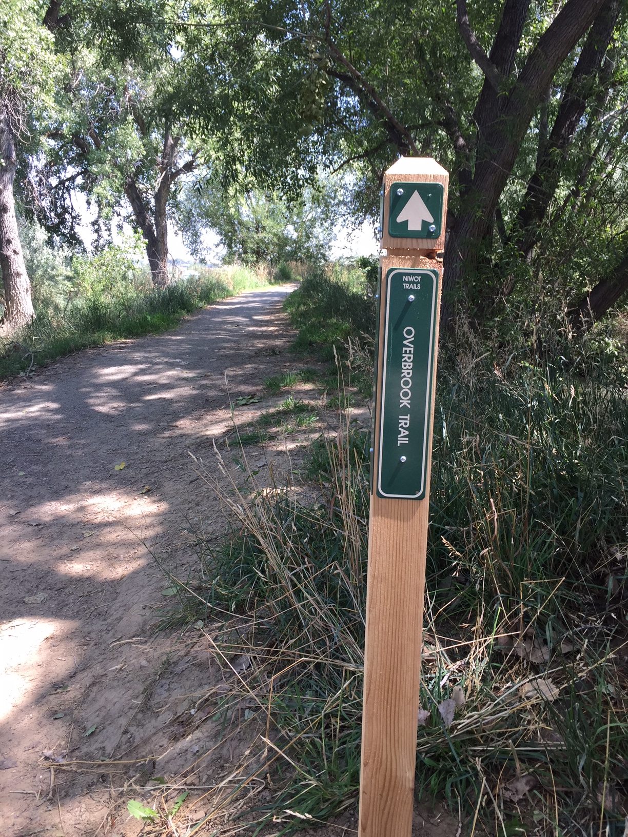
After years of public meetings, county planning, volunteer efforts, and even a naming contest at Niwot High School, the planned elements of Niwot Trail system are essentially complete. A new kiosk at the Left Hand Grange Park contains a map that covers the Niwot trail system, including all of the officially named trails. In addition, the county has placed many new trail signs at trail intersections around the community, giving you the name of the different trail segments. The major regional trail is the LoBo trail (short for Longmont-Boulder), which connect the two major communities in Boulder County. The Lobo Trail follows Dry Creek from Highway 52 to 83rd Street, where it follows 83rd Street north out of the Niwot area. Just North of Highway 52, the Somerset Trail heads east from the LoBo Trail up the Niwot Estates Open Space to the Legend Ridge Loop Trail. The Niwot Hills trail takes off from the northeast corner of the Legend Ridge loop Trail and heads north to the east end of Niwot High School. The Cougar Trail follows the Boulder-White Rock Irrigation Ditch behind Niwot High School, starting at the east end of the high school and coming out on Niwot Road adjacent to the Walker Drive crosswalk. Heading north from the northern most point on the Cougar Trail is the Overbrook Trail, which meets back up with the LoBo Trail at the Left Hand Valley Grange Park on 83rd Street. Finally, the Hidden Star Trailfollows the Boulder and White Rock Ditch from the Somerset trail on the south end to Longview Drive, where it turns north to Niwot Road.
This trail system has been decades in the making and is a major contributor to the quality of life here in Niwot. Please go out and explore your finished trail system!

Left Hand Valley Grange Trail Kiosk